Hi everyone! Sorry again for not posting on Monday. I wasn’t feeling well and there were some things I needed to catch up on that took precedence. Since I haven’t posted in a while I will be skipping the recap.
WARNINGS – All we have at this point is a Small Craft Advisory in effect for the Strait. For more info, please see here.
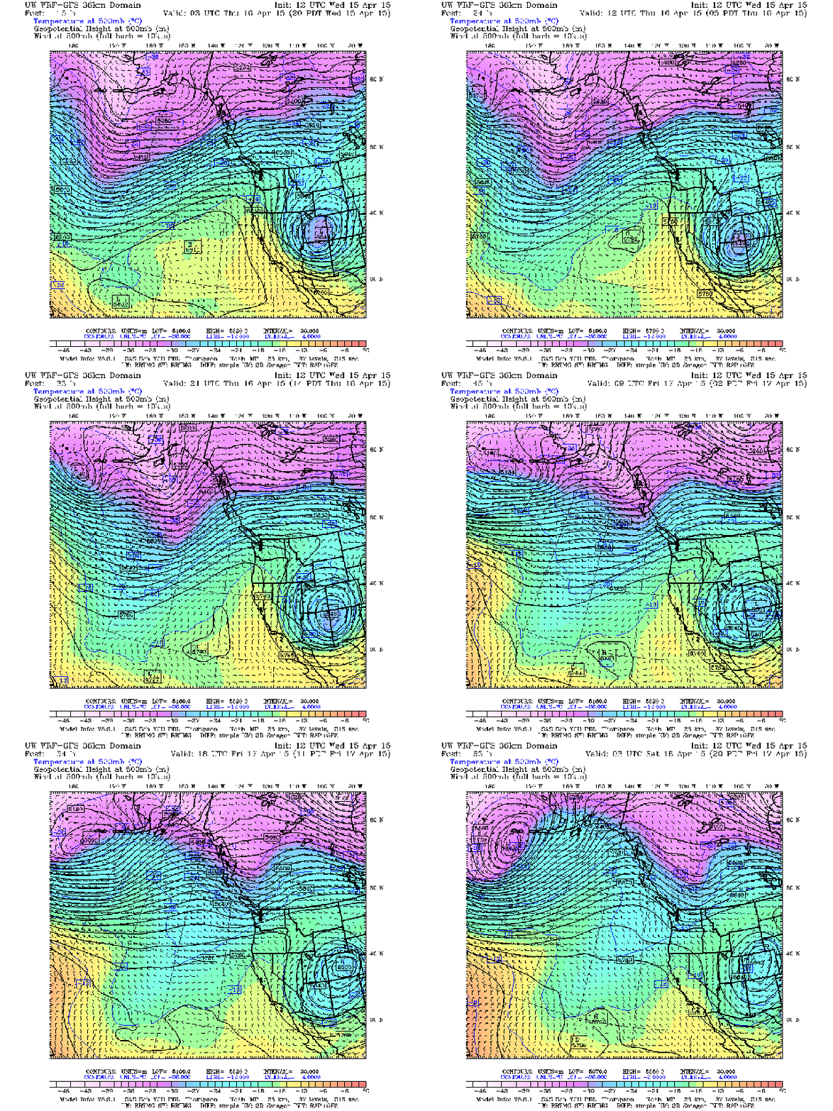
It looks like a small ridge is starting to build over us, which has helped clear out most of the showers. It won’t really strengthen or weaken, but it looks like it will shift south a little bit on Friday. Given that the jet stream will still be to the north, and the air will still be on the warm side, I don’t think it will affect the weather other than maybe a few extra clouds. We’ll see how that goes below.

A small ridge will help keep the pressure high over the next couple of days. SOURCE: UW Models; 36km 500mb; Temps, winds, heights
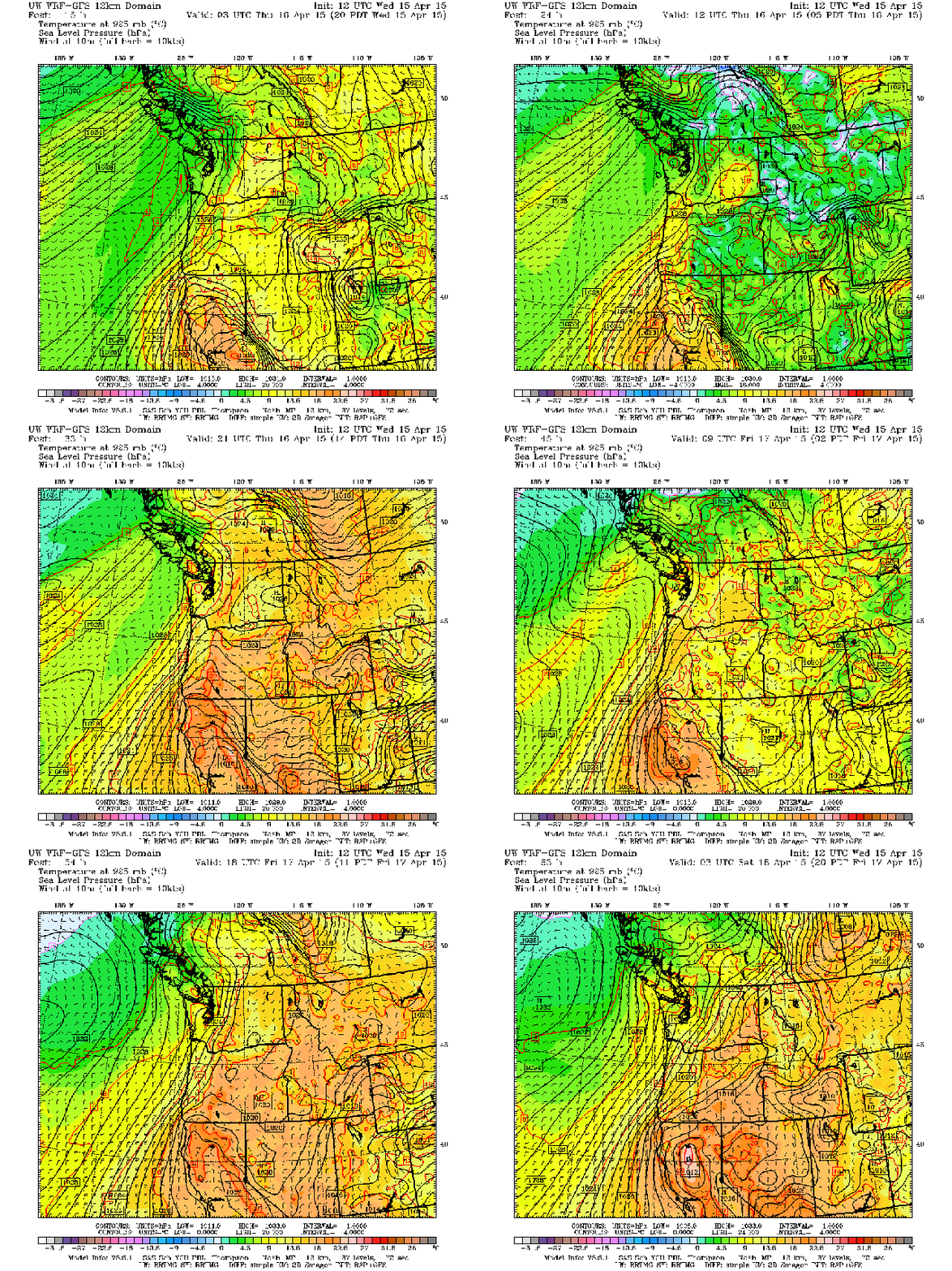
High pressure will be dominant over the next couple of days. A small and weak low pressure center looks to swing something our way Thursday night, but it will stay on its track north of Vancouver Island, and will actually be overtaken by some high pressure.

High pressure will keep the weather nice over the next couple of days. SOURCE: UW Models; 12km Surface; SLP, 10 m winds, and temp
If you like the rain we’ve been seeing for the past couple of days (and some of it was pretty heavy), hopefully you enjoyed it while it lasted. With high pressure moving in, we’ll be staying dry for the next couple of days. The CAPE is drawing a blank as well, so I won’t be posting the precipitation, CAPE, or snow models, as there isn’t anything on them!
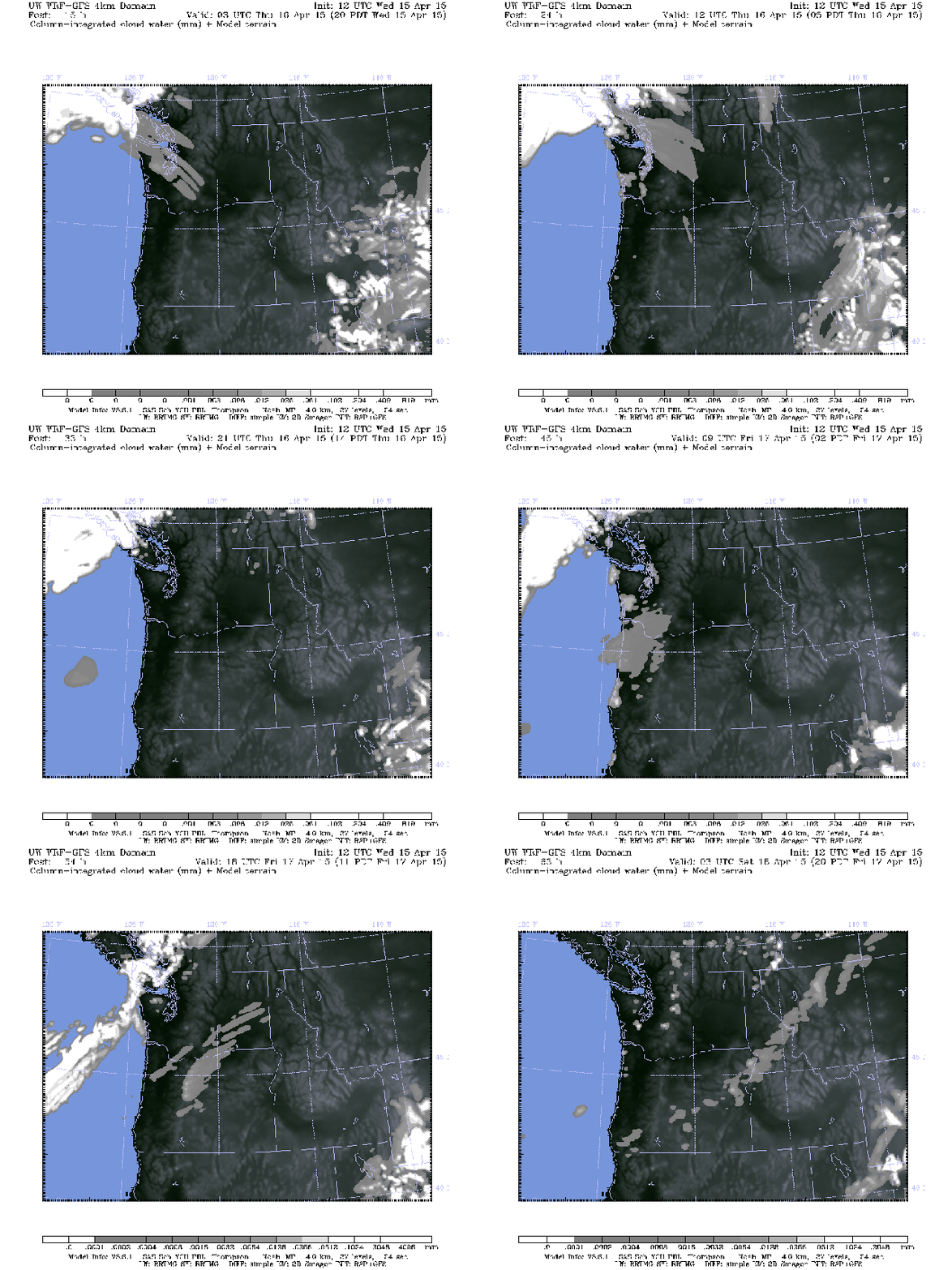
Cloud cover will be pretty sparse for the most part. We’ll have some mostly cloudy skies Thursday morning with a chance of some fog in areas, but that will start to burn off as we approach the afternoon. Expect mostly clear skies for the afternoon and evening, but the clouds and fog will move back in Friday morning, and we’ll just repeat the process again, although this time we may have a few more clouds in the afternoon.

Mostly clear skies with some patchy fog in the mornings. SOURCE: UW Models; 4km Cloud; Column-integrated cloud water
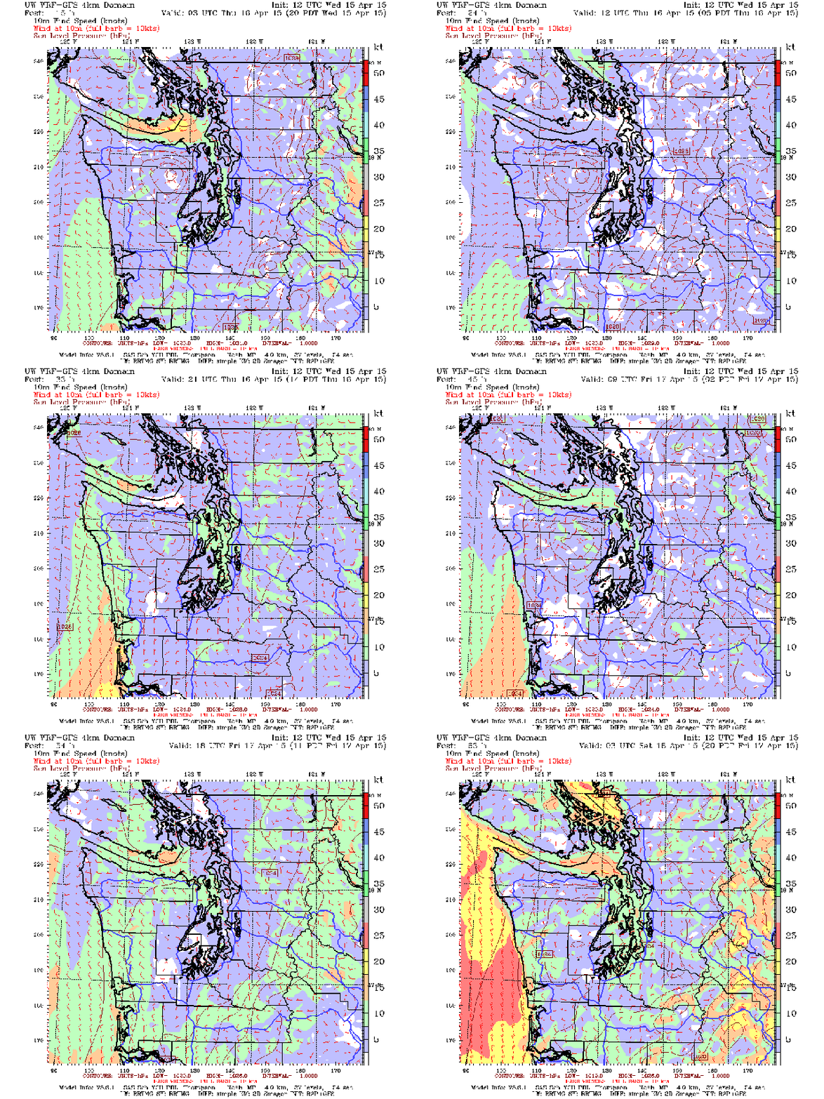
There isn’t too much in the way of clashing pressures, so we shouldn’t see any strong winds over the next couple of days, but we will see some breezy conditions at times. Thursday will start out pretty calm for the Sound, but once we hit early afternoon we will see winds start to pick up. It will start over the water and along the coastline, then spread out mainly to the north. Winds will be strongest up in the Strait for a brief time in the early evening, then everything will start to calm again as we move into the later hours. Friday will start out the same, but by early afternoon we will see increased winds all across the board, especially in the mountains and around the Hood Canal area. By the end of the forecast things will have started to calm down, and will continue to do so overnight.

Winds will be mostly calm in the morning, picking up by early afternoon. SOURCE: UW Models; 4km Surface; 10m Wind Speed; Western WA 10m Wind Speed
As I’m sure you’re expecting through all of this, we can expect a warm up over the next few days, but maybe not as high as the weather folks on TV are saying. Highs on Thursday will be in the mid 60s for south and central Sound, cooling slightly to the north and closer to the water. Lows overnight will be in the mid to high 40s, cooler in the north and over Kitsap. Friday will actually see about the same temperatures in the same areas as Thursday, with lows staying about the same as well.
TL;DR: Nice couple of days ahead of us!
